Funded by the "Gifted Education Fund", we organise an off-school advanced learning programme (Programme number: 2024-04) in 2025, running an eight-month course for 50 P4-P6 students. Centred on the theme of birds, the course consists of three phases. Through lectures and field studies, students are encouraged to utilise Geographic Information System (GIS) and remote sensing to explore various possible solutions for bird conservation, fostering good values in nature conservation.
Programme Features
- Enhance students’ interest and knowledge in local ecosystems and avian biodiversity
- Cultivate relevant skills in remote sensing and Geographic Information System (GIS)
- Develop students’ scientific inquiry skills, problem-solving abilities, self-directed learning abilities and presentation skills
- Foster students’ positive values and attitudes, promoting personal growth and social sustainable development
【Phase 1 – Bird Ecology and Biodiversity】
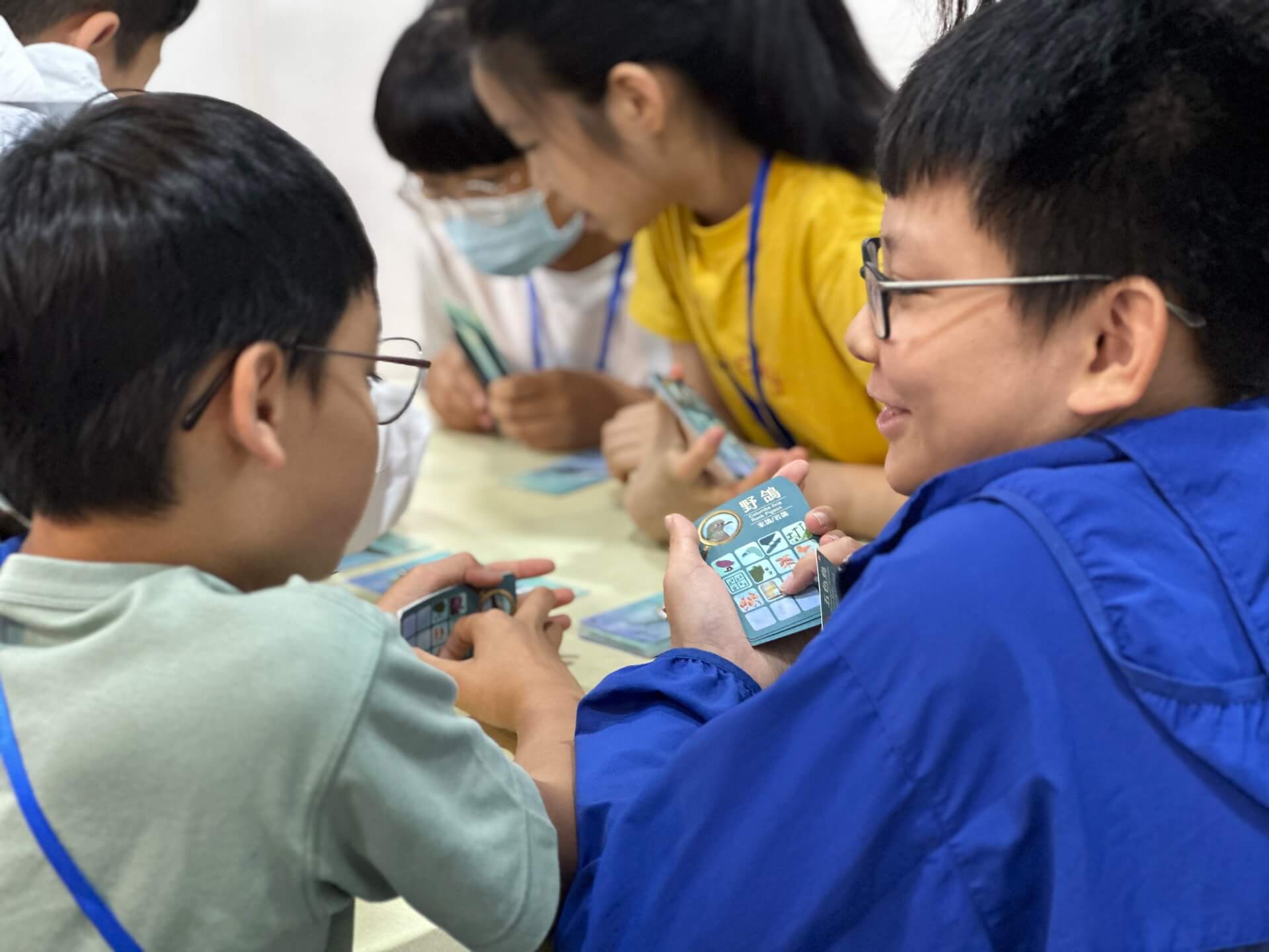
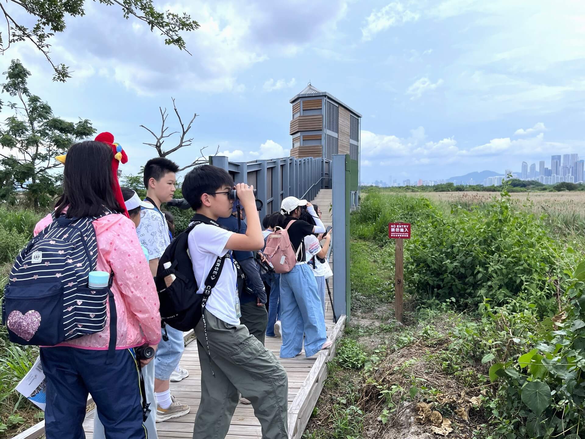
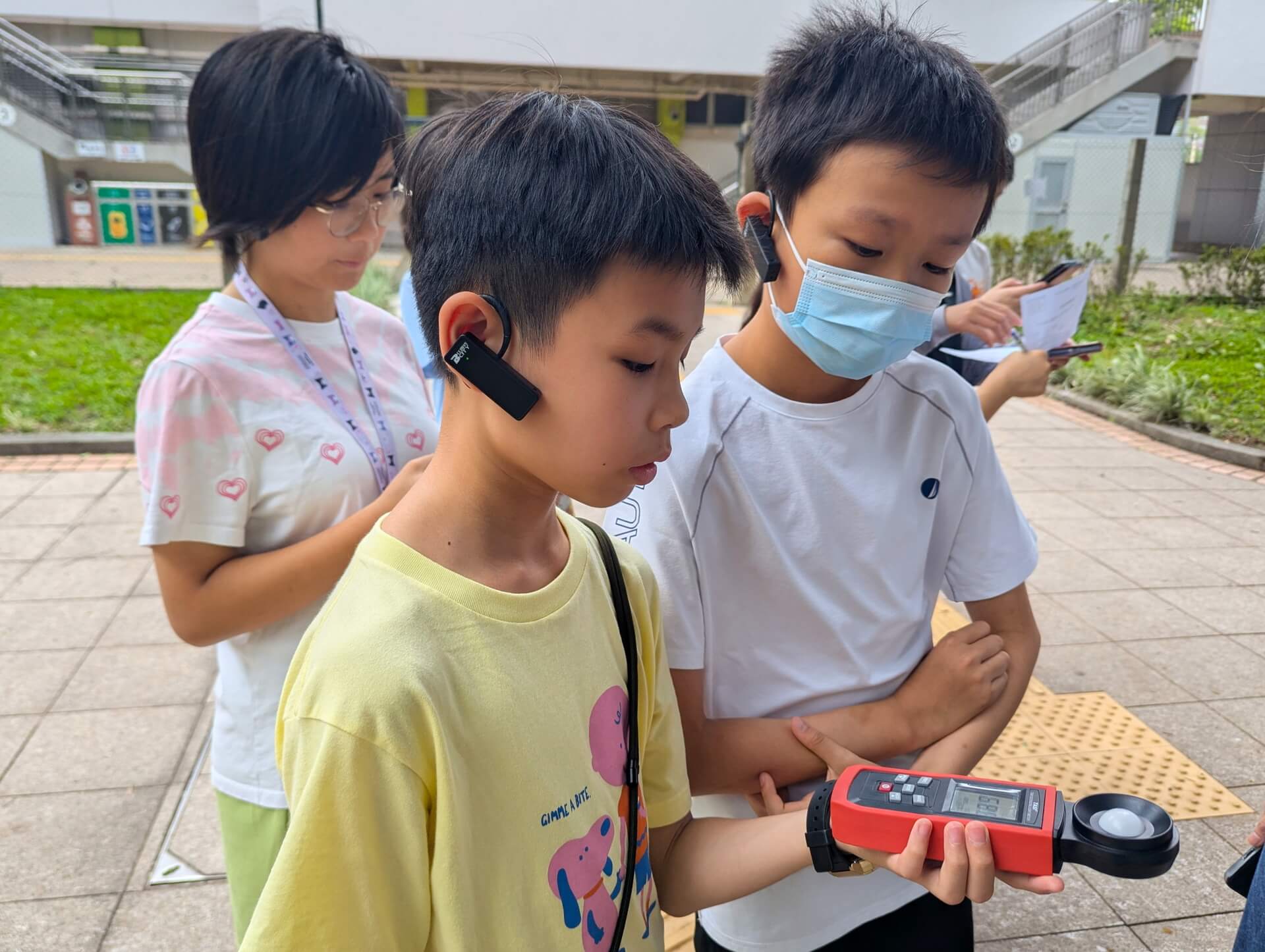
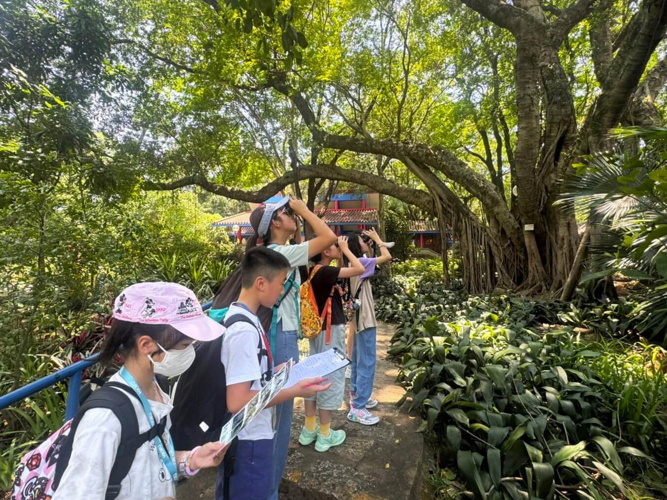
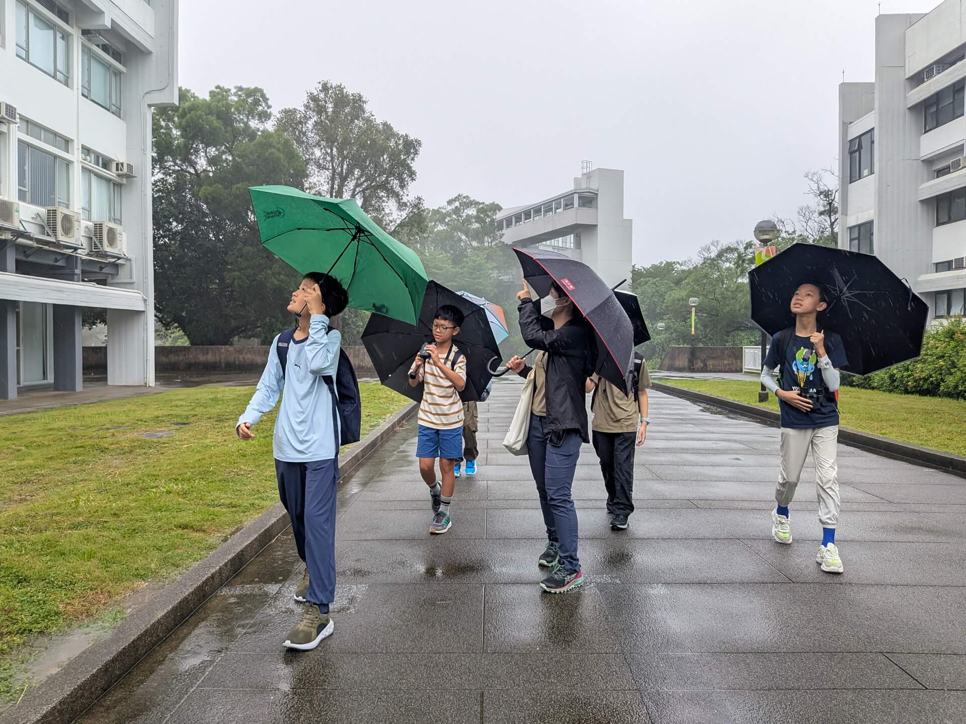
Students learnt about the basic ecology of birds in Hong Kong, such as physical characteristics of birds, explored the relationship between birds and their habitats, and understood the impact of human activities on bird species, through a blend of indoor lessons, interactive games, and outdoor field trips.
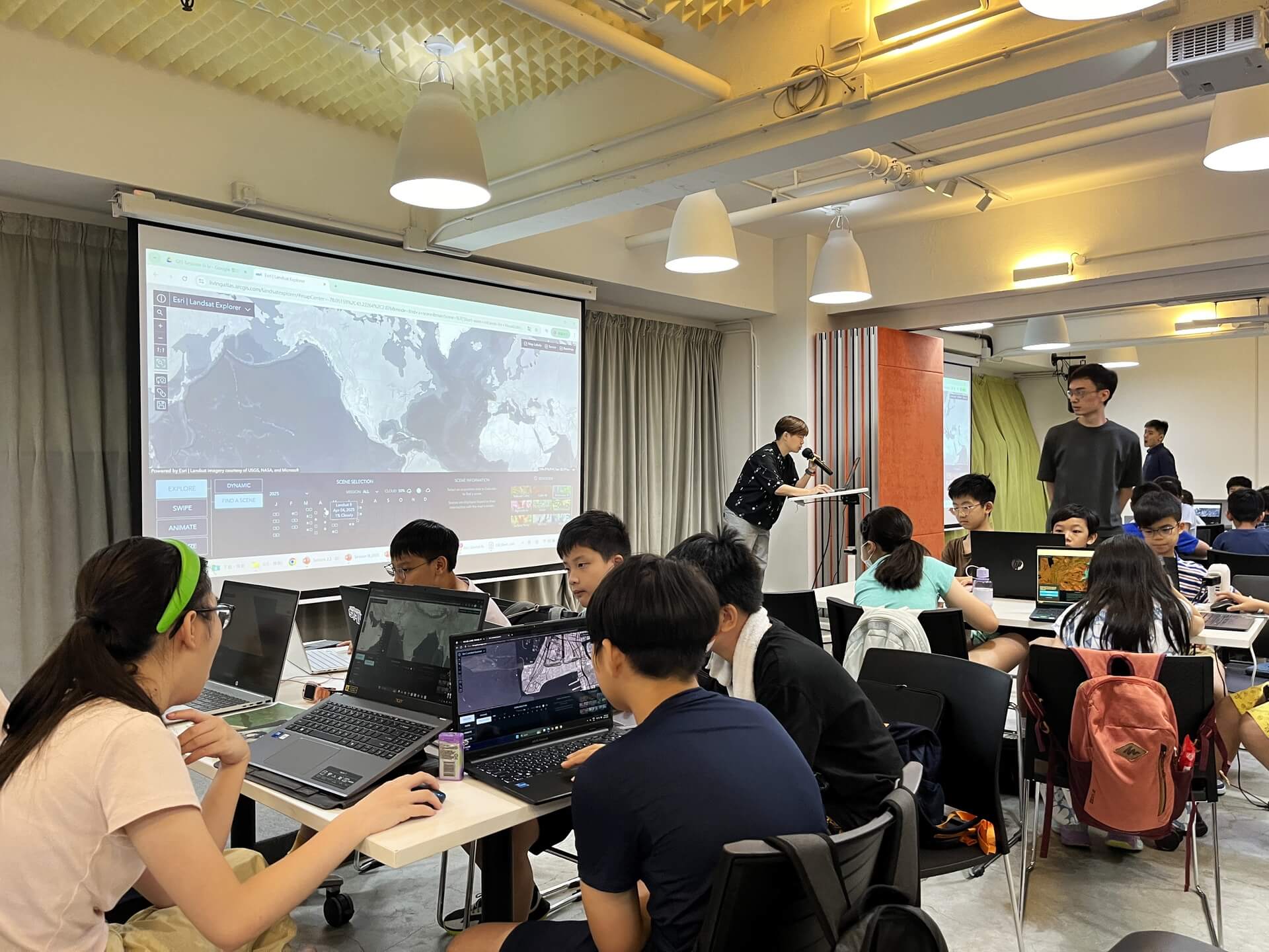
【Phase 2 – Geographic Information System (GIS) and Bird Survey】
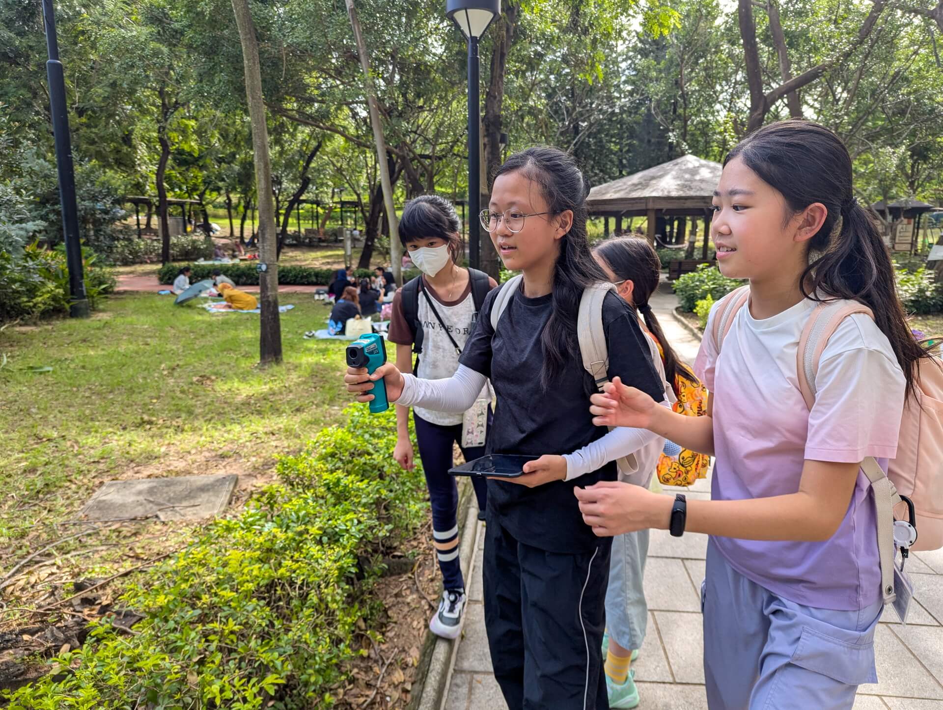
Led by Professor Paulina Wong and her team from Science Unit at Lingnan University, students explored the practical applications of Geographic Information Systems (GIS). The program included hands-on outdoor data collection and guided practice with ArcGIS software for analysing and presenting data through interactive maps.
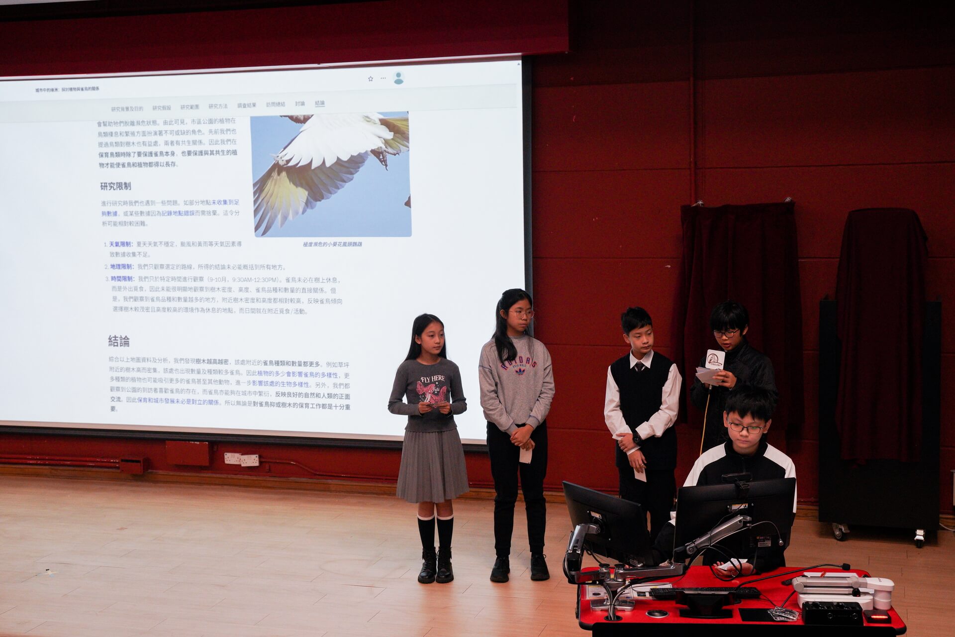
【Phase 3 - Application and Group Research】
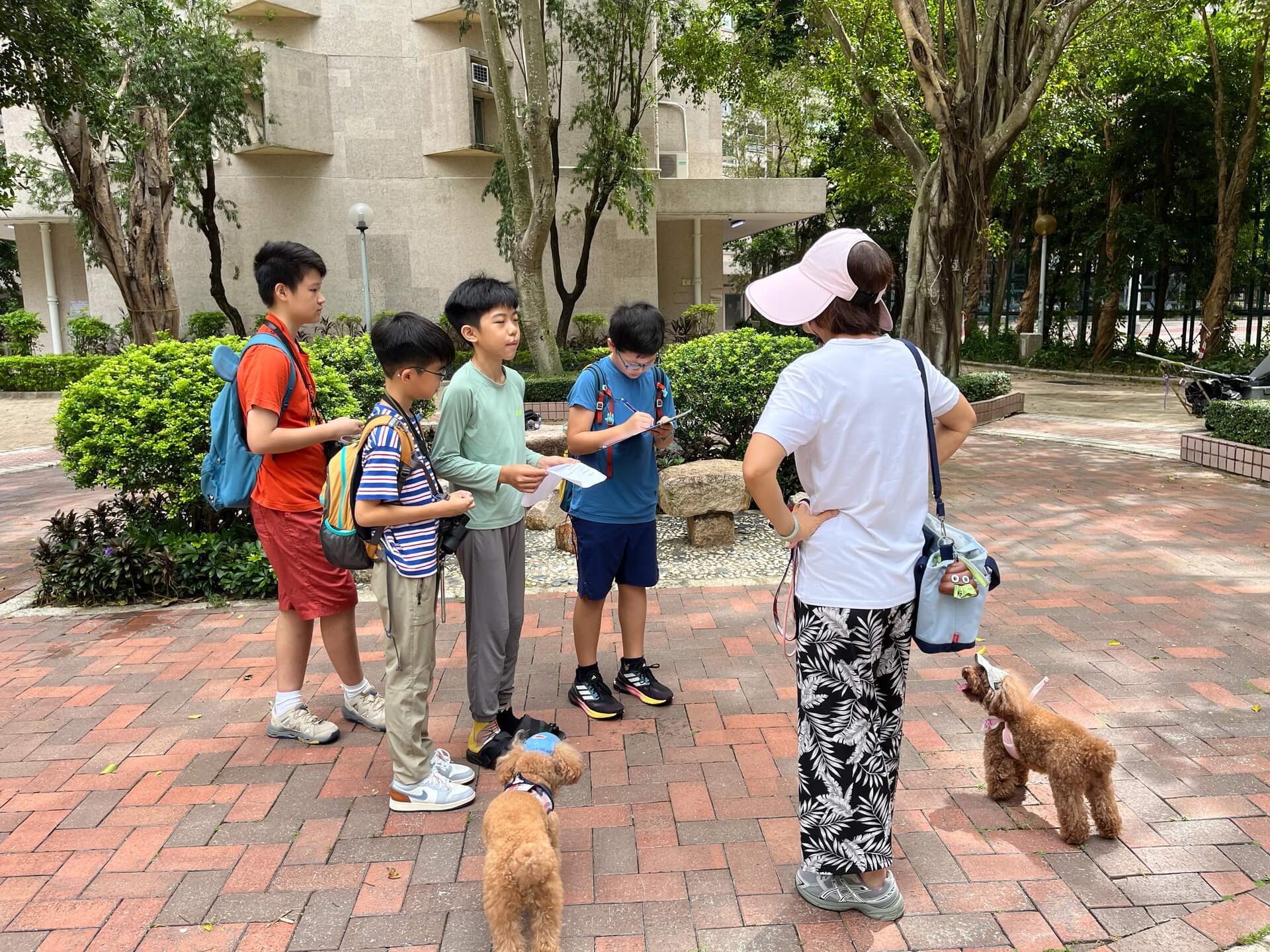
Following the first and second phase of training, students have gained a foundational understanding of bird conservation and the application of GIS and remote sensing system. Students were divided into 10 groups to design their research frameworks under the guidance of professional mentors. They then conducted field studies, utilizing a mix of quantitative and qualitative research methods to collect various types of data.
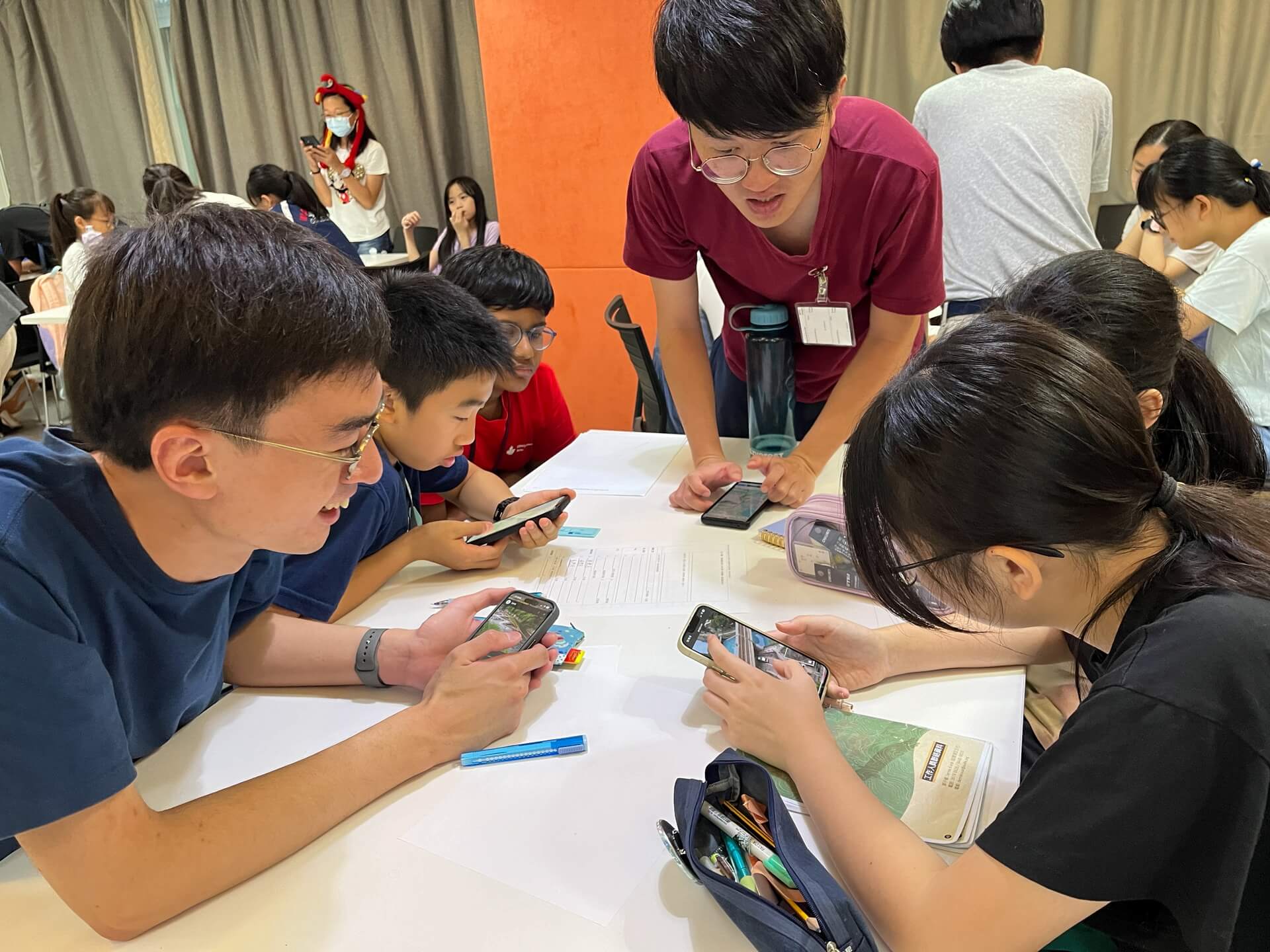
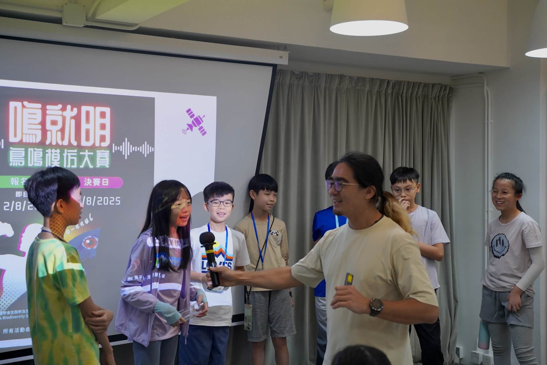
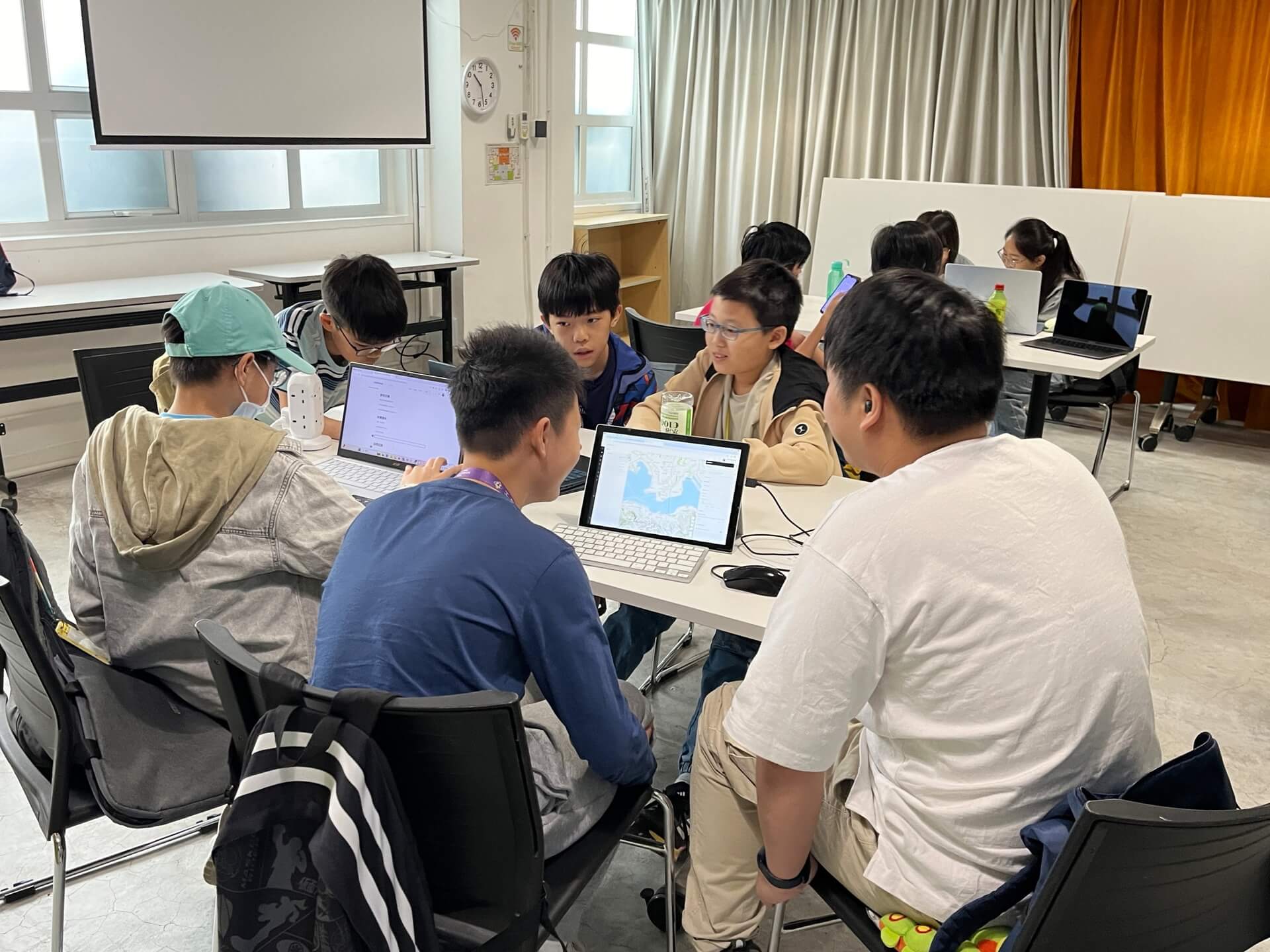
The group study spanned three months, during which students collected data outdoors, then integrated and analysed their findings before presenting them through StoryMaps. The Learning Outcomes Sharing and Graduation Ceremony provided a valuable platform for students to present their work to guests and parents. This experience sharpened the students' logical thinking and presentation skills while deepening the understanding of bird conservation among both students and their families.
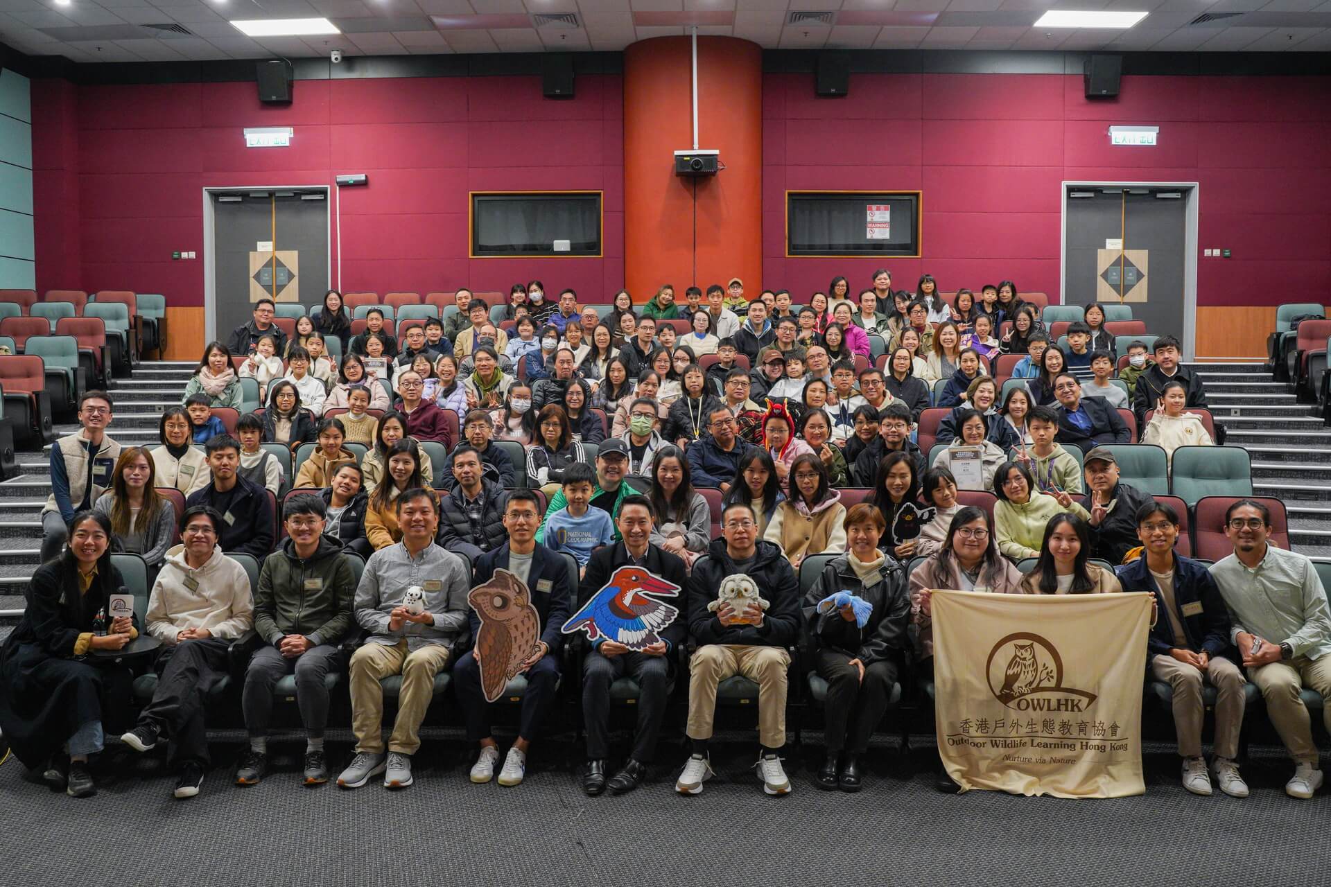
Birds are our close neighbours, they can usually be seen in urban areas, parks, and countrysides. Therefore, bird conservation is deeply relevant to our daily lives. We would like to thank all the students for their active participation in this programme. Students are encouraged to apply the knowledge you have gained to remain mindful of the ecology and environment around us, serving as dedicated guardians of ecological conservation!
Bird research StoryMaps: